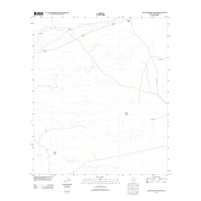
2012 Map of South Rector Canyon
USGS Topo · Published 2012About this map
The Delaware River winds through the southern reaches of this Culberson County landscape, serving as a primary hydrologic feature in an arid ranching environment. This 2012 survey illustrates the sparse but critical water infrastructure necessary for livestock and land management, marked by locations such as Star Windmill, Mare Windmill, and North Windmill. The terrain is defined by deep drainage patterns including South Rector Canyon and Big Canyon, which channel intermittent runoff toward the river basin. Transportation is anchored by the shared alignment of Highway 62 180 crossing the northern section and Ranch Road 652 to the east. Names like Well Drill Draw and Cave Tank suggest a history of groundwater exploration and reliance on natural and improved catchment systems in this remote corner of West Texas near the State Line.
Find a feature on this map
12 named features on this map. Tap any name to fly to it.
Don’t see what you’re looking for? This feature index may not catch every label — zoom into the map to look around manually.
Map Details
Editions of this 2012 South Rector Canyon Map
This is the sole edition of this map. No revisions or reprints were ever made.
Other maps of this area

1940 · Carlsbad Caverns West
USGS Topo · 1:62,500

1943 · Carlsbad Caverns West
USGS Topo · 1:62,500

1945 · Carlsbad Caverns East
USGS Topo · 1:62,500

1947 · Carlsbad Caverns East
USGS Topo · 1:62,500

1954 · Carlsbad
USGS Topo · 1:250,000

1954 · Van Horn
USGS Topo · 1:250,000

1958 · Van Horn
USGS Topo · 1:250,000

1958 · Carlsbad
USGS Topo · 1:250,000

1973 · Cow Mountain
USGS Topo · 1:24,000

1973 · Delaware Spring
USGS Topo · 1:24,000