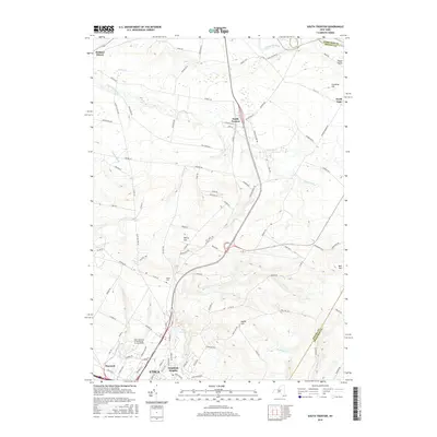
2016 Map of South Trenton
USGS Topo · Published 2016About this map
Utica and its northern suburbs are depicted here at a point of significant academic and residential development. The landscape transitions from the dense urban and suburban grid of Deerfield Heights and Maynard into the high, dissected plateau of the northern Oneida County hills. A major anchor in the southern portion of the map is the SUNY-Institute of Technology at Utica-Rome, positioned near the Utica Reservoir. This area marks the dividing line between the Mohawk Valley's industrial legacy and the rural agricultural communities above the escarpment.
Find a feature on this map
103 named features on this map. Tap any name to fly to it.
Don’t see what you’re looking for? This feature index may not catch every label — zoom into the map to look around manually.
Map Details
Editions of this 2016 South Trenton Map
This is the sole edition of this map. No revisions or reprints were ever made.
Other maps of this area

1895 · Oriskany
USGS Topo · 1:62,500

1897 · Remsen
USGS Topo · 1:62,500

1898 · Utica
USGS Topo · 1:62,500

1898 · Oriskany
USGS Topo · 1:62,500

1900 · Utica
USGS Topo · 1:62,500

1900 · Remsen
USGS Topo · 1:62,500

1904 · Boonville
USGS Topo · 1:62,500

1943 · Newport
USGS Topo · 1:24,000

1943 · Utica East
USGS Topo · 1:24,000
1943 · Ilion
USGS Topo · 1:24,000