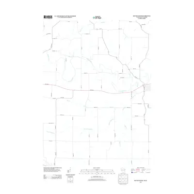
2013 Map of South Wayne
USGS Topo · Published 2013About this map
The Pecatonica River meanders across this rural landscape where the Illinois and Wisconsin borders meet, defining the drainage patterns of the surrounding farmland. This area is characterized by a dense network of local roads and named creek branches that serve as the primary landmarks for local history researchers. Major corridors like State Road 11 and State Road 78 intersect the terrain, providing a framework for the agricultural properties and homesteads scattered throughout the region.
Find a feature on this map
54 named features on this map. Tap any name to fly to it.
Don’t see what you’re looking for? This feature index may not catch every label — zoom into the map to look around manually.
Map Details
Editions of this 2013 South Wayne Map
This is the sole edition of this map. No revisions or reprints were ever made.
Other maps of this area

1902 · Mineral Point
USGS Topo · 1:125,000

1911 · Elizabeth
USGS Topo · 1:62,500

1923 · South Wayne
USGS Topo · 1:62,500

1936 · Elizabeth
USGS Topo · 1:62,500

1937 · Lena
USGS Topo · 1:48,000

1942 · Lena
USGS Topo · 1:62,500

1943 · Lena
USGS Topo · 1:62,500

1954 · Rockford
USGS Topo · 1:250,000

1955 · Rockford
USGS Topo · 1:250,000

1958 · Rockford
USGS Topo · 1:250,000