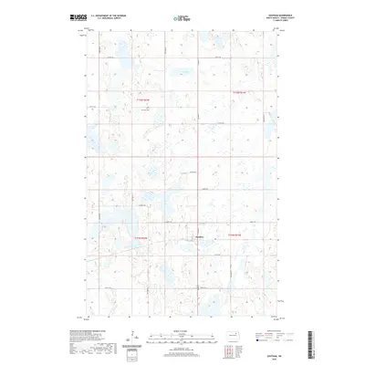
2020 Map of Southam
USGS Topo · Published 2020About this map
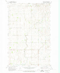
Southam stands as a primary point of interest in this section of Ramsey County, where the landscape is defined by the numerous wetlands and small glacial potholes typical of the North Dakota prairie. The map reveals a highly structured grid of section lines and rural routes, such as Co Hwy 4 and Ontario Rd, which navigate around the complex hydrology of the region. Local history is anchored by the Fox Lake Cem, which sits north of the main settlement near the shoreline of Fox Lake. This 2020 record illustrates a modern rural geography where agriculture and natural water bodies dictate the placement of roads and homesteads, offering a detailed view of the township boundaries including t155n r62w and t154n r61w.
Find a feature on this map
21 named features on this map. Tap any name to fly to it.
Don’t see what you’re looking for? This feature index may not catch every label — zoom into the map to look around manually.
Map Details
Editions of this 2020 Southam Map
This is the sole edition of this map. No revisions or reprints were ever made.
Other maps of this area

1951 · Crary
USGS Topo · 1:24,000

1953 · Devils Lake
USGS Topo · 1:250,000

1956 · Devils Lake
USGS Topo · 1:250,000
1970 · Bartlett
USGS Topo · 1:24,000

1971 · Southam
USGS Topo · 1:24,000
1971 · Crary NW
USGS Topo · 1:24,000
1971 · Doyon
USGS Topo · 1:24,000

1971 · Lakota NW
USGS Topo · 1:24,000

1972 · Derrick SE
USGS Topo · 1:24,000
1972 · Derrick SW
USGS Topo · 1:24,000