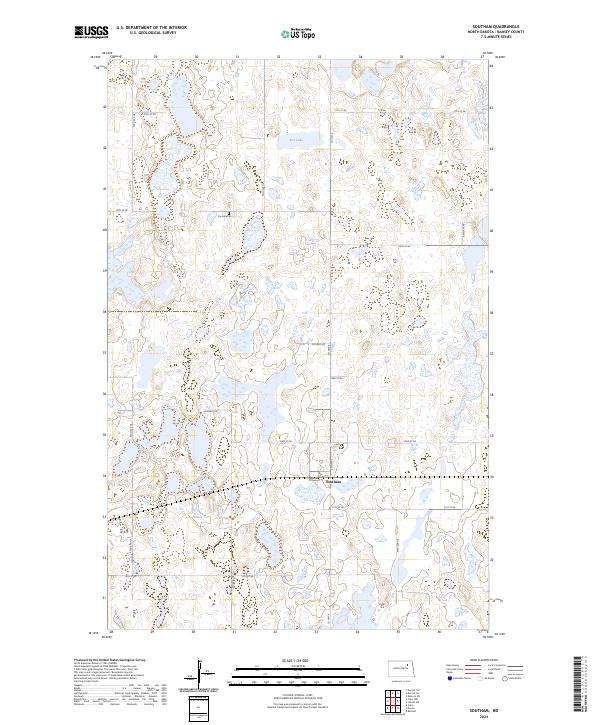
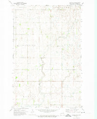
2024 Map of Southam
USGS Topo · Published 2024About this map
The small settlement of Southam serves as a quiet focal point in this eastern Ramsey County landscape, characterized by the undulating prairie and wetlands of the Drift Prairie region. Much of the surrounding terrain is dedicated to conservation, notably through the extensive Ramsey County Waterfowl Production Area, which protects vital habitat for migratory birds across multiple sections of the township. The presence of Fox Lake and its associated Fox Lake Cem to the northwest reflects the area's pioneer history and the enduring relationship between the local community and the land. A grid of rural roads, including Co Hwy 4 and Ontario Dr, provides access to these isolated homesteads and protected natural spaces, illustrating the traditional North Dakota land-use pattern where agriculture and conservation coexist.
Find a feature on this map
20 named features on this map. Tap any name to fly to it.
Don’t see what you’re looking for? This feature index may not catch every label — zoom into the map to look around manually.
Map Details
Editions of this 2024 Southam Map
This is the sole edition of this map. No revisions or reprints were ever made.
Other maps of this area

1951 · Crary
USGS Topo · 1:24,000

1953 · Devils Lake
USGS Topo · 1:250,000

1956 · Devils Lake
USGS Topo · 1:250,000
1970 · Bartlett
USGS Topo · 1:24,000

1971 · Southam
USGS Topo · 1:24,000
1971 · Crary NW
USGS Topo · 1:24,000
1971 · Doyon
USGS Topo · 1:24,000

1971 · Lakota NW
USGS Topo · 1:24,000

1972 · Derrick SE
USGS Topo · 1:24,000
1972 · Derrick SW
USGS Topo · 1:24,000