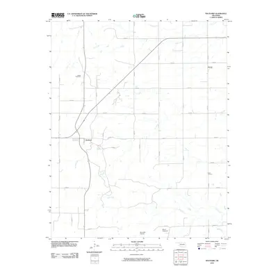
2010 Map of Southard
USGS Topo · Published 2010About this map
Southard serves as a primary node in this northern Oklahoma landscape, where the intersection of state highways and a grid of rural section roads facilitates movement through the central plains. The terrain is defined by significant drainage patterns, with Spring Creek and Salt Creek carving through the area, eventually leading toward the notable Ruby Mill Canyon and Mount Henquent in the southern reaches. This 2010 survey highlights the agrarian and industrial infrastructure of the region, including the Karber Pond Dam and the settlement of Darrow to the northeast. For genealogists and local historians, the placement of Midlin Cemetery provides a fixed point of reference within the vast township grid. The map effectively documents the transition from open range to a structured landscape defined by named roads such as n2560 RD and e0650 RD, which mirror the early 20th-century settlement patterns that organized the state's interior.
Find a feature on this map
29 named features on this map. Tap any name to fly to it.
Don’t see what you’re looking for? This feature index may not catch every label — zoom into the map to look around manually.
Map Details
Editions of this 2010 Southard Map
This is the sole edition of this map. No revisions or reprints were ever made.
Other maps of this area

1955 · Clinton
USGS Topo · 1:250,000

1955 · Woodward
USGS Topo · 1:250,000

1957 · Clinton
USGS Topo · 1:250,000

1958 · Woodward
USGS Topo · 1:250,000

1964 · Oakwood
USGS Topo · 1:62,500

1972 · Longdale
USGS Topo · 1:24,000

1972 · Canton
USGS Topo · 1:24,000

1972 · Southard
USGS Topo · 1:24,000

1972 · Okeene
USGS Topo · 1:24,000

1972 · Homestead
USGS Topo · 1:24,000