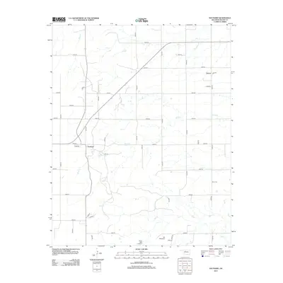
2012 Map of Southard
USGS Topo · Published 2012About this map
Southard and Darrow serve as the primary hubs in this section of Blaine County, where the landscape is defined by the headwaters and drainage of several significant Oklahoma watercourses. The local topography is notable for the presence of Mt Henquent and the distinct formation of Ruby Mill Canyon in the southern reaches. For genealogists and local historians, the Midlin Cem offers a specific point of interest in the eastern portion of the survey. The region is heavily dissected by an organized grid of section roads, facilitating movement between water features like Karber Pond and the winding paths of Spring Cr and Salt Cr. This map documents the rural infrastructure and natural drainage patterns that have shaped land use in this part of the state for decades.
Find a feature on this map
41 named features on this map. Tap any name to fly to it.
Don’t see what you’re looking for? This feature index may not catch every label — zoom into the map to look around manually.
Map Details
Editions of this 2012 Southard Map
This is the sole edition of this map. No revisions or reprints were ever made.
Other maps of this area

1955 · Clinton
USGS Topo · 1:250,000

1955 · Woodward
USGS Topo · 1:250,000

1957 · Clinton
USGS Topo · 1:250,000

1958 · Woodward
USGS Topo · 1:250,000

1964 · Oakwood
USGS Topo · 1:62,500

1972 · Longdale
USGS Topo · 1:24,000

1972 · Canton
USGS Topo · 1:24,000

1972 · Southard
USGS Topo · 1:24,000

1972 · Okeene
USGS Topo · 1:24,000

1972 · Homestead
USGS Topo · 1:24,000