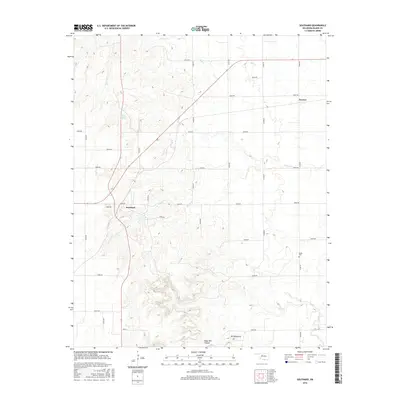
2016 Map of Southard
USGS Topo · Published 2016About this map
Southard and Darrow anchor this portion of Blaine County, where the plains are deeply etched by a network of seasonal watercourses. The landscape is defined by the drainage of Elm Cr, Spring Cr, and Salt Cr, which carve through the terrain to create distinctive landforms like Ruby Mill Canyon and the elevation at Mt Henquent. This area of Oklahoma is characterized by its organized section-line road grid, which navigates around natural features like Kärber Pond and the rolling topography of the gypsum hills region.
Find a feature on this map
33 named features on this map. Tap any name to fly to it.
Don’t see what you’re looking for? This feature index may not catch every label — zoom into the map to look around manually.
Map Details
Editions of this 2016 Southard Map
This is the sole edition of this map. No revisions or reprints were ever made.
Other maps of this area

1955 · Clinton
USGS Topo · 1:250,000

1955 · Woodward
USGS Topo · 1:250,000

1957 · Clinton
USGS Topo · 1:250,000

1958 · Woodward
USGS Topo · 1:250,000

1964 · Oakwood
USGS Topo · 1:62,500

1972 · Longdale
USGS Topo · 1:24,000

1972 · Canton
USGS Topo · 1:24,000

1972 · Southard
USGS Topo · 1:24,000

1972 · Okeene
USGS Topo · 1:24,000

1972 · Homestead
USGS Topo · 1:24,000