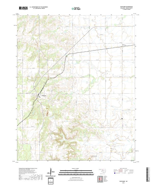
2022 Map of Southard
USGS Topo · Published 2022About this map
Southard stands as a focal point in this section of Blaine County, where the landscape is defined by the headwaters and drainage patterns of several western Oklahoma waterways. The terrain is marked by the presence of Mt Henquent in the southern portion of the quadrangle, overlooking the winding paths of Salt Cr and Bitter Cr. To the north, Karber Pond and Spring Cr illustrate the local hydrology that has historically supported agriculture and settlement in this prairie environment.
Find a feature on this map
33 named features on this map. Tap any name to fly to it.
Don’t see what you’re looking for? This feature index may not catch every label — zoom into the map to look around manually.
Map Details
Editions of this 2022 Southard Map
This is the sole edition of this map. No revisions or reprints were ever made.
Other maps of this area

1955 · Clinton
USGS Topo · 1:250,000

1955 · Woodward
USGS Topo · 1:250,000

1957 · Clinton
USGS Topo · 1:250,000

1958 · Woodward
USGS Topo · 1:250,000

1964 · Oakwood
USGS Topo · 1:62,500

1972 · Longdale
USGS Topo · 1:24,000

1972 · Canton
USGS Topo · 1:24,000

1972 · Southard
USGS Topo · 1:24,000

1972 · Okeene
USGS Topo · 1:24,000

1972 · Homestead
USGS Topo · 1:24,000