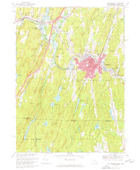
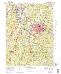
1967 Map of Southbridge
USGS Topo · Published 1967About this map
The Quinebaug River winds through this New England landscape, anchoring the industrial and cultural hub of Southbridge. The town center is densely detailed, showing the Southbridge High School, the Harrington Memorial Hospital, and several parish sites including St Marys Cemetery and St Hedwigs Cemetery. To the west, the living history museum at Old Sturbridge Village is established near the river, complete with its Covered Bridges.
Find a feature on this map
79 named features on this map. Tap any name to fly to it.
Don’t see what you’re looking for? This feature index may not catch every label — zoom into the map to look around manually.
Map Details
Editions of this 1967 Southbridge Map
6 editions found
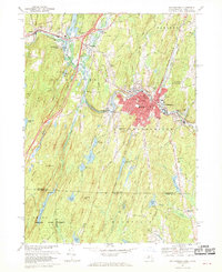
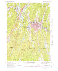
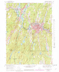
Other maps of this area

1887 · Brookfield
USGS Topo · 1:62,500

1889 · Webster
USGS Topo · 1:62,500

1889 · Putnam
USGS Topo · 1:62,500

1890 · Brookfield
USGS Topo · 1:62,500

1892 · Woodstock
USGS Topo · 1:62,500

1892 · Webster
USGS Topo · 1:62,500

1893 · Putnam
USGS Topo · 1:62,500

1893 · Brookfield
USGS Topo · 1:62,500

1908 · Quinsigamond
USGS Topo · 1:125,000

1908 · Ware
USGS Topo · 1:125,000