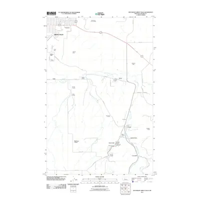
2011 Map of Southeast Great Falls
USGS Topo · Published 2011About this map
Great Falls sits at the northwest corner of this landscape, where urban neighborhoods and the Malmstrom Air Force Base transition into the agricultural coulees and flats of Cascade County. The map documents a cluster of small settlements south of the city, including Tracy, Centerville, and Sand Coulee, which are woven together by the winding course of Sand Coulee Creek. This drainage system carved a series of distinct geographical features such as Antelope Coulee, Spring Coulee, and Goon Coulee, defining the local topography and historical land use patterns.
Find a feature on this map
46 named features on this map. Tap any name to fly to it.
Don’t see what you’re looking for? This feature index may not catch every label — zoom into the map to look around manually.
Map Details
Editions of this 2011 Southeast Great Falls Map
This is the sole edition of this map. No revisions or reprints were ever made.
Other maps of this area

1886 · Great Falls
USGS Topo · 1:250,000

1948 · Portage
USGS Topo · 1:62,500

1949 · Portage
USGS Topo · 1:62,500

1949 · Great Falls
USGS Topo · 1:62,500

1951 · Great Falls
USGS Topo · 1:62,500

1954 · Great Falls
USGS Topo · 1:250,000

1955 · Stockett
USGS Topo · 1:62,500

1955 · Gore Hill
USGS Topo · 1:62,500

1957 · Great Falls
USGS Topo · 1:250,000

1965 · Eden
USGS Topo · 1:24,000