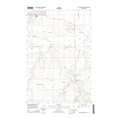
2014 Map of Southeast Great Falls
USGS Topo · Published 2014About this map
The southeastern margins of Great Falls give way to a complex landscape of coulees and rural communities in this 2014 survey. The topography is defined by the winding course of Sand Coulee Cr, which carved out a series of significant drainage features including Spring Coulee, Walker Coulee, and Antelope Coulee. Settlement patterns in this area of Cascade County range from the residential expansion at Gibson Flats to more isolated agricultural and industrial outposts. The map records several distinct smaller communities such as Sand Coulee, Tracy, and Centerville, alongside the Big Stone Colony near Goon Hill Road. Aviation and local history are represented by the Prill Field Airport and the Hebrew Cem located near the western edge of the flats. The naming of Number Seven and Mining Coulee points to the region's historical reliance on coal extraction from the Great Falls coal field.
Find a feature on this map
66 named features on this map. Tap any name to fly to it.
Don’t see what you’re looking for? This feature index may not catch every label — zoom into the map to look around manually.
Map Details
Editions of this 2014 Southeast Great Falls Map
This is the sole edition of this map. No revisions or reprints were ever made.
Other maps of this area

1886 · Great Falls
USGS Topo · 1:250,000

1948 · Portage
USGS Topo · 1:62,500

1949 · Portage
USGS Topo · 1:62,500

1949 · Great Falls
USGS Topo · 1:62,500

1951 · Great Falls
USGS Topo · 1:62,500

1954 · Great Falls
USGS Topo · 1:250,000

1955 · Stockett
USGS Topo · 1:62,500

1955 · Gore Hill
USGS Topo · 1:62,500

1957 · Great Falls
USGS Topo · 1:250,000

1965 · Eden
USGS Topo · 1:24,000