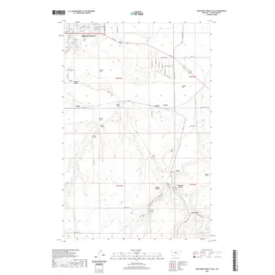
2020 Map of Southeast Great Falls
USGS Topo · Published 2020About this map
Great Falls anchors the northwestern corner of this study, giving way to a landscape defined by the winding course of Sand Coulee Cr and the complex drainage of the surrounding highlands. The map documents a cluster of settlements southeast of the city, including Sand Coulee, Tracy, Number Seven, and Centerville, which are connected by a network of local routes like Stockett Rd. This area reflects a history of small-town development and resource extraction, evidenced by labels like Mining Coulee and Prill Field.
Find a feature on this map
67 named features on this map. Tap any name to fly to it.
Don’t see what you’re looking for? This feature index may not catch every label — zoom into the map to look around manually.
Map Details
Editions of this 2020 Southeast Great Falls Map
This is the sole edition of this map. No revisions or reprints were ever made.
Other maps of this area

1886 · Great Falls
USGS Topo · 1:250,000

1948 · Portage
USGS Topo · 1:62,500

1949 · Portage
USGS Topo · 1:62,500

1949 · Great Falls
USGS Topo · 1:62,500

1951 · Great Falls
USGS Topo · 1:62,500

1954 · Great Falls
USGS Topo · 1:250,000

1955 · Stockett
USGS Topo · 1:62,500

1955 · Gore Hill
USGS Topo · 1:62,500

1957 · Great Falls
USGS Topo · 1:250,000

1965 · Eden
USGS Topo · 1:24,000