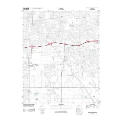
2010 Map of Southeast Memphis
USGS Topo · Published 2010About this map
Memphis International Airport serves as a massive industrial and transit hub in this 2010 survey of Shelby County, anchoring a landscape shaped by significant aviation and rail infrastructure. The sheet detail covers the vast rail complexes of Forrest Yards, Yale Yards, and Tennessee Yards, reflecting the region's enduring role as a logistical gateway. These industrial features are interlaced with the winding course of Nonconnah Creek and its many tributaries, including Cypress Creek and Tenmile Creek.
Find a feature on this map
55 named features on this map. Tap any name to fly to it.
Don’t see what you’re looking for? This feature index may not catch every label — zoom into the map to look around manually.
Map Details
Editions of this 2010 Southeast Memphis Map
This is the sole edition of this map. No revisions or reprints were ever made.
Other maps of this area

1916 · Memphis
USGS Topo · 1:62,500

1925 · Memphis
USGS Topo · 1:48,000

1927 · Memphis
USGS Topo · 1:62,500

1932 · Horn Lake
USGS Topo · 1:48,000

1935 · Horn Lake
USGS Topo · 1:62,500

1939 · Memphis
USGS Topo · 1:62,500

1944 · Hernando
USGS Topo · 1:62,500

1948 · Helena
USGS Topo · 1:250,000

1950 · Helena
USGS Topo · 1:250,000

1953 · Memphis
USGS Topo · 1:250,000