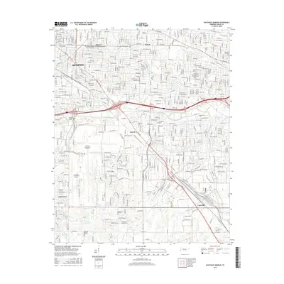
2016 Map of Southeast Memphis
USGS Topo · Published 2016About this map
Memphis International Airport dominates the central landscape of this 2016 survey, illustrating the modern aviation infrastructure that defines the region's commerce. The map documents the dense suburban development patterns of southeastern Shelby County, including established neighborhoods such as Whitehaven, Capleville, and Oakville. Cultural and educational institutions are well-represented, from the sprawling Univ of Memphis campus to smaller vocational sites like Remington College-Memphis Campus.
Find a feature on this map
39 named features on this map. Tap any name to fly to it.
Don’t see what you’re looking for? This feature index may not catch every label — zoom into the map to look around manually.
Map Details
Editions of this 2016 Southeast Memphis Map
This is the sole edition of this map. No revisions or reprints were ever made.
Other maps of this area

1916 · Memphis
USGS Topo · 1:62,500

1925 · Memphis
USGS Topo · 1:48,000

1927 · Memphis
USGS Topo · 1:62,500

1932 · Horn Lake
USGS Topo · 1:48,000

1935 · Horn Lake
USGS Topo · 1:62,500

1939 · Memphis
USGS Topo · 1:62,500

1944 · Hernando
USGS Topo · 1:62,500

1948 · Helena
USGS Topo · 1:250,000

1950 · Helena
USGS Topo · 1:250,000

1953 · Memphis
USGS Topo · 1:250,000