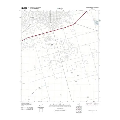
2010 Map of Southeast Midland
USGS Topo · Published 2010About this map
The semi-arid plains of the Permian Basin define this portion of Midland County, where the city of Midland begins to give way to smaller outlying communities and ranching infrastructure. Small residential clusters like Sandy Acres, Ridgeheights, and Cotton Flat dot the landscape south of the main urban center, connected by a network of county roads and the historic Bankhead Hwy. The terrain is relatively flat, punctuated primarily by the path of Monahans Draw, which snakes through the southern half of the quadrangle.
Find a feature on this map
51 named features on this map. Tap any name to fly to it.
Don’t see what you’re looking for? This feature index may not catch every label — zoom into the map to look around manually.
Map Details
Editions of this 2010 Southeast Midland Map
This is the sole edition of this map. No revisions or reprints were ever made.
Other maps of this area

1954 · Hobbs
USGS Topo · 1:250,000

1954 · Pecos
USGS Topo · 1:250,000

1954 · Big Spring
USGS Topo · 1:250,000

1954 · San Angelo
USGS Topo · 1:250,000

1957 · Pecos
USGS Topo · 1:250,000

1958 · San Angelo
USGS Topo · 1:250,000

1958 · Big Spring
USGS Topo · 1:250,000

1958 · Hobbs
USGS Topo · 1:250,000

1964 · Bryant Ranch
USGS Topo · 1:24,000

1964 · Parks
USGS Topo · 1:24,000