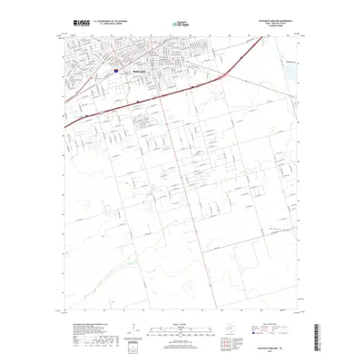
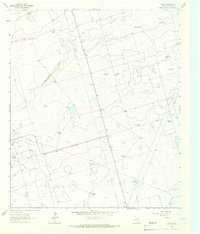
2019 Map of Southeast Midland
USGS Topo · Published 2019About this map
Midland expanded significantly into its southeastern quadrants by the late 2010s, as shown in this detailed topographic record. The urban street grid, characterized by thoroughfares like W Texas Ave, E California Ave, and E Florida Ave, transitions into an organized network of county roads as the landscape moves toward the more open terrain of the Permian Basin. This transition highlights the city's outward growth away from its established core.
Find a feature on this map
72 named features on this map. Tap any name to fly to it.
Don’t see what you’re looking for? This feature index may not catch every label — zoom into the map to look around manually.
Map Details
Editions of this 2019 Southeast Midland Map
This is the sole edition of this map. No revisions or reprints were ever made.
Other maps of this area
1954 · Hobbs
USGS Topo · 1:250,000

1954 · Pecos
USGS Topo · 1:250,000
1954 · Big Spring
USGS Topo · 1:250,000
1954 · San Angelo
USGS Topo · 1:250,000

1957 · Pecos
USGS Topo · 1:250,000
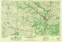
1958 · San Angelo
USGS Topo · 1:250,000
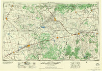
1958 · Big Spring
USGS Topo · 1:250,000
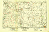
1958 · Hobbs
USGS Topo · 1:250,000
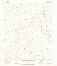
1964 · Bryant Ranch
USGS Topo · 1:24,000
1964 · Parks
USGS Topo · 1:24,000