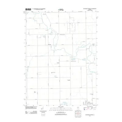
2012 Map of Southeast Pontiac
USGS Topo · Published 2012About this map
Vermilion River and the S Fork Vermilion River anchor this central Illinois landscape, carving through a grid of agricultural section lines and rural roadways. This 2012 survey illustrates the enduring nature of small crossroads settlements like Lodemia, McDowell, and Champlin, which remain connected by a network of roads such as Billet Rd and N 1900 E Rd. The land use is defined by a notable concentration of private aviation facilities, including Riverode Farms Airport, the Wayne Ziller Jr Airport, and the Frederick Landing Strip.
Find a feature on this map
61 named features on this map. Tap any name to fly to it.
Don’t see what you’re looking for? This feature index may not catch every label — zoom into the map to look around manually.
Map Details
Editions of this 2012 Southeast Pontiac Map
This is the sole edition of this map. No revisions or reprints were ever made.
Other maps of this area

1935 · Pontiac
USGS Topo · 1:62,500

1939 · Pontiac
USGS Topo · 1:62,500

1947 · Sibley
USGS Topo · 1:62,500

1947 · Cullom
USGS Topo · 1:62,500

1949 · Cullom
USGS Topo · 1:62,500

1949 · Sibley
USGS Topo · 1:62,500

1957 · Colfax
USGS Topo · 1:62,500

1958 · Peoria
USGS Topo · 1:250,000

1961 · Peoria
USGS Topo · 1:250,000

1963 · Peoria
USGS Topo · 1:250,000