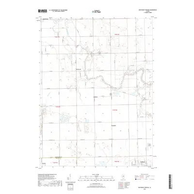
2018 Map of Southeast Pontiac
USGS Topo · Published 2018About this map
The Vermilion River and its South Fork define the drainage of this central Illinois landscape, flowing past small prairie settlements and family cemeteries. Small rural communities like McDowell, Lodemia, and Champlin are situated along the section lines, reflecting the enduring grid of agricultural life in Livingston County. Genealogists will find several burial grounds preserved among the fields, including Houder Cem, Patty Cem, and Avoca Cem.
Find a feature on this map
67 named features on this map. Tap any name to fly to it.
Don’t see what you’re looking for? This feature index may not catch every label — zoom into the map to look around manually.
Map Details
Editions of this 2018 Southeast Pontiac Map
This is the sole edition of this map. No revisions or reprints were ever made.
Other maps of this area

1935 · Pontiac
USGS Topo · 1:62,500

1939 · Pontiac
USGS Topo · 1:62,500

1947 · Sibley
USGS Topo · 1:62,500

1947 · Cullom
USGS Topo · 1:62,500

1949 · Cullom
USGS Topo · 1:62,500

1949 · Sibley
USGS Topo · 1:62,500

1957 · Colfax
USGS Topo · 1:62,500

1958 · Peoria
USGS Topo · 1:250,000

1961 · Peoria
USGS Topo · 1:250,000

1963 · Peoria
USGS Topo · 1:250,000