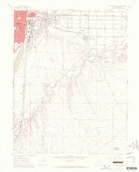
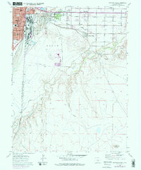
1960 Map of Southeast Pueblo
USGS Topo · Published 1966About this map
Pueblo expands southward into the high plains in this mid-century survey, revealing a landscape defined by industrial infrastructure and emerging residential districts. The city’s southern edge is anchored by the St Mary Corwin Hospital and various educational centers like Fulton Heights Sch and Pleasant View Jr High Sch. The map illustrates the complex water management systems essential to the region, including the Bessemer Ditch and the Siphon crossing the St Charles River.
Find a feature on this map
38 named features on this map. Tap any name to fly to it.
Don’t see what you’re looking for? This feature index may not catch every label — zoom into the map to look around manually.
Map Details
Editions of this 1960 Southeast Pueblo Map
6 editions found

Other maps of this area

1891 · Pueblo
USGS Topo · 1:125,000

1891 · Nepesta
USGS Topo · 1:125,000

1893 · Nepesta
USGS Topo · 1:125,000

1894 · Pueblo
USGS Topo · 1:125,000

1896 · Pueblo
USGS Topo · 1:125,000

1897 · Pueblo
USGS Topo · 1:125,000

1904 · Nepesta
USGS Topo · 1:125,000

1954 · Pueblo
USGS Topo · 1:250,000

1957 · Pueblo
USGS Topo · 1:250,000

1958 · Pueblo
USGS Topo · 1:250,000