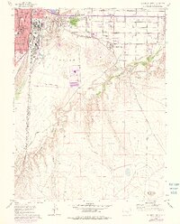
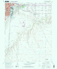
1960 Map of Southeast Pueblo
USGS Topo · Published 1977About this map
The industrial and residential growth of Pueblo stretches southeastward in this mid-century survey, revealing a landscape defined by water management and transportation. The Bessemer Ditch and various siphons cut across the terrain, illustrating the critical infrastructure required for agriculture and industry in this arid region. Residential pockets like Salt Creek, Blende, and Lombard Village are interspersed with numerous local institutions, including Fulton Heights Sch and St Mary Corwin Hospital.
Find a feature on this map
38 named features on this map. Tap any name to fly to it.
Don’t see what you’re looking for? This feature index may not catch every label — zoom into the map to look around manually.
Map Details
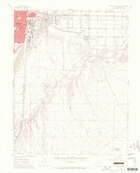
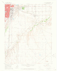
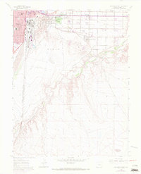
Editions of this 1960 Southeast Pueblo Map
6 editions found

Other maps of this area

1891 · Pueblo
USGS Topo · 1:125,000

1891 · Nepesta
USGS Topo · 1:125,000

1893 · Nepesta
USGS Topo · 1:125,000

1894 · Pueblo
USGS Topo · 1:125,000

1896 · Pueblo
USGS Topo · 1:125,000

1897 · Pueblo
USGS Topo · 1:125,000

1904 · Nepesta
USGS Topo · 1:125,000

1954 · Pueblo
USGS Topo · 1:250,000

1957 · Pueblo
USGS Topo · 1:250,000

1958 · Pueblo
USGS Topo · 1:250,000