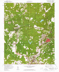
1957 Map of Southern Pines
USGS Topo · Published 1960About this map
Pinehurst and Southern Pines emerge as the dual anchors of this landscape in the mid-1950s, a region defined by leisure, health, and a trio of major railroads. The complex network of the Norfolk Southern, Aberdeen and Rockfish, and Seaboard lines converge near Aberdeen, illustrating a late-industrial transportation hub before the full dominance of the interstate highway. The map highlights the area's development as a destination, featuring the Pinehurst Golf Club and the Pinehurst Trotting Track, alongside institutions like St Josephs Hospital and the County Hospital.
Find a feature on this map
53 named features on this map. Tap any name to fly to it.
Don’t see what you’re looking for? This feature index may not catch every label — zoom into the map to look around manually.
Map Details
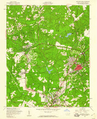
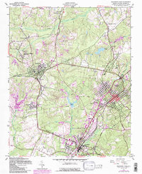
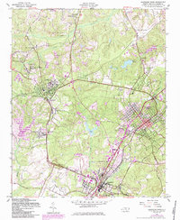
Editions of this 1957 Southern Pines Map
4 editions found
Other maps of this area

1942 · Troy
USGS Topo · 1:125,000

1948 · Southern Pines
USGS Topo · 1:62,500

1948 · Pinebluff
USGS Topo · 1:24,000

1948 · Mc Cain
USGS Topo · 1:24,000

1949 · West End
USGS Topo · 1:24,000

1949 · Hoffman
USGS Topo · 1:24,000

1949 · Jackson Springs
USGS Topo · 1:62,500

1950 · Sanatorium
USGS Topo · 1:24,000

1950 · Pine Bluff
USGS Topo · 1:24,000

1950 · Niagara
USGS Topo · 1:24,000