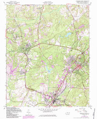
1957 Map of Southern Pines
USGS Topo · Published 1984About this map
Pinehurst and Southern Pines anchor this 1957 Moore County survey, illustrating the region's mid-century status as a premier destination for leisure and equestrian activities. The map captures a high concentration of recreational infrastructure, from the Pinehurst Golf Club to the Pinehurst Trotting Track, surrounded by the sandhills' characteristic terrain. Local commerce and industry are traced via the intersection of the Norfolk Southern, Seaboard Coast Line, and Aberdeen and Rockfish railroads, which converge near the historic center of Aberdeen.
Find a feature on this map
44 named features on this map. Tap any name to fly to it.
Don’t see what you’re looking for? This feature index may not catch every label — zoom into the map to look around manually.
Map Details
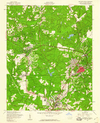
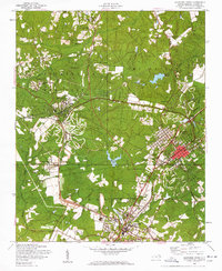
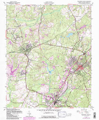
Editions of this 1957 Southern Pines Map
4 editions found
Other maps of this area

1942 · Troy
USGS Topo · 1:125,000

1948 · Southern Pines
USGS Topo · 1:62,500

1948 · Pinebluff
USGS Topo · 1:24,000

1948 · Mc Cain
USGS Topo · 1:24,000

1949 · West End
USGS Topo · 1:24,000

1949 · Hoffman
USGS Topo · 1:24,000

1949 · Jackson Springs
USGS Topo · 1:62,500

1950 · Sanatorium
USGS Topo · 1:24,000

1950 · Pine Bluff
USGS Topo · 1:24,000

1950 · Niagara
USGS Topo · 1:24,000