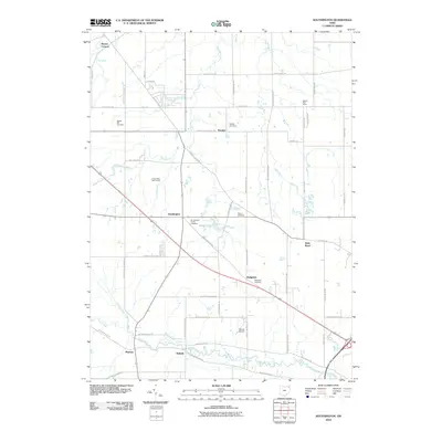
2010 Map of Southington
USGS Topo · Published 2010About this map
Southington serves as the central hub of this Trumbull County landscape, where the confluence of several key routes including Painesville Warren Rd and Warren Burton Rd reflects the area's rural development. The map reveals a traditional settlement pattern characterized by numerous community burial grounds, such as Baptist Hill Cemetery and Delightful Cemetery, which anchor the small hamlets of Herner Corners and Delightful.
Find a feature on this map
56 named features on this map. Tap any name to fly to it.
Don’t see what you’re looking for? This feature index may not catch every label — zoom into the map to look around manually.
Map Details
Editions of this 2010 Southington Map
This is the sole edition of this map. No revisions or reprints were ever made.
Other maps of this area

1905 · Bristolville
USGS Topo · 1:62,500

1905 · Garrettsville
USGS Topo · 1:62,500

1906 · Ravenna
USGS Topo · 1:62,500

1907 · Bristolville
USGS Topo · 1:62,500

1907 · Garrettsville
USGS Topo · 1:62,500

1908 · Warren
USGS Topo · 1:62,500

1908 · Ravenna
USGS Topo · 1:62,500

1950 · Cleveland
USGS Topo · 1:250,000

1952 · West Farmington
USGS Topo · 1:24,000

1952 · Southington
USGS Topo · 1:24,000
Featured Places
- Warren, OH
- Champion Township, OH
- Warren Township, OH
- Southington Township, OH
- Southington, Southington Township