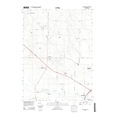
2013 Map of Southington
USGS Topo · Published 2013About this map
Southington and its neighboring rural settlements anchor this landscape northwest of the growing urban reach of Warren. The map reveals a transition from dense residential developments like Southington Estates and Champion Heights to the established agricultural and crossroad hamlets of Delightful, Phalanx, and Stroups. The transportation network is dominated by the diagonal corridor of Parkman Rd and the north-south transit along Painesville Warren Rd, which connect these smaller communities to the regional center.
Find a feature on this map
59 named features on this map. Tap any name to fly to it.
Don’t see what you’re looking for? This feature index may not catch every label — zoom into the map to look around manually.
Map Details
Editions of this 2013 Southington Map
This is the sole edition of this map. No revisions or reprints were ever made.
Other maps of this area

1905 · Bristolville
USGS Topo · 1:62,500

1905 · Garrettsville
USGS Topo · 1:62,500

1906 · Ravenna
USGS Topo · 1:62,500

1907 · Bristolville
USGS Topo · 1:62,500

1907 · Garrettsville
USGS Topo · 1:62,500

1908 · Warren
USGS Topo · 1:62,500

1908 · Ravenna
USGS Topo · 1:62,500

1950 · Cleveland
USGS Topo · 1:250,000

1952 · West Farmington
USGS Topo · 1:24,000

1952 · Southington
USGS Topo · 1:24,000
Featured Places
- Warren, OH
- Champion Township, OH
- Warren Township, OH
- Southington Township, OH
- Southington, Southington Township