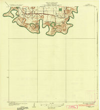
1936 Map of Southmost
USGS Topo · Published 1936About this map
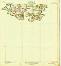
The Rio Grande snakes along the international boundary between Texas and Mexico, defining the southern edge of this Cameron County landscape in the 1930s. The region is characterized by extensive agricultural holdings and river-adjacent tracts, including Rabb Plantation, Brulay Plantation, and Piper Plantation. These large estates, alongside Nogales Ranch and San Joaquin Ranch, illustrate the early 20th-century ranching and plantation economy of the Lower Rio Grande Valley. Inland, the Missouri Pacific railroad cuts a straight path through settlements like Palm Grove and South Point. A fascinating geographic detail is the presence of river cut-offs known as bancos, such as La Canasta Banco No 4 and Longoreno Banco No 3, which reflect the shifting nature of the river border. Modern infrastructure of the era is evident in the Pumping Sta and the grid of county roads like Indiana Ave and Oklahoma Ave.
Find a feature on this map
24 named features on this map. Tap any name to fly to it.
Don’t see what you’re looking for? This feature index may not catch every label — zoom into the map to look around manually.
Map Details
Editions of this 1936 Southmost Map
3 editions found
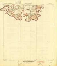
Other maps of this area

1929 · Palmito Hill
USGS Topo · 1:24,000

1930 · West Brownsville
USGS Topo · 1:24,000

1930 · East Brownsville
USGS Topo · 1:24,000
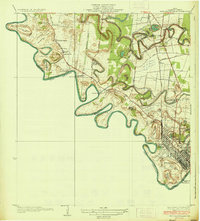
1936 · West Brownsville
USGS Topo · 1:31,680

1936 · Palmito Hill
USGS Topo · 1:31,680
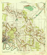
1936 · East Brownsville
USGS Topo · 1:31,680
1936 · Southmost
USGS Topo · 1:31,680

1953 · Brownsville
USGS Topo · 1:250,000
1955 · Palmito Hill
USGS Topo · 1:24,000
1955 · Southmost
USGS Topo · 1:24,000