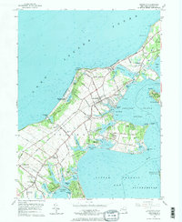
1956 Map of Southold
USGS Topo · Published 1970About this map
The maritime character of the North Fork is clearly defined on this mid-century survey, centered on the historic village of Southold. The landscape is etched by a complex network of inlets and peninsulas, where Hog Neck and Indian Neck extend into the sheltered waters of Little Peconic Bay and Shelter Island Sound. On the northern shore, the Horton Pt Lighthouse overlooks the expanse of Long Island Sound, marking a coastline defined by rocky beaches like Horton Lane Beach.
Find a feature on this map
97 named features on this map. Tap any name to fly to it.
Don’t see what you’re looking for? This feature index may not catch every label — zoom into the map to look around manually.
Map Details
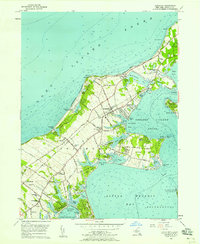
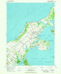
Editions of this 1956 Southold Map
3 editions found
Other maps of this area

1903 · Sag Harbor
USGS Topo · 1:62,500

1903 · Riverhead
USGS Topo · 1:62,500

1904 · Sag Harbor
USGS Topo · 1:62,500

1904 · Shelter Island
USGS Topo · 1:62,500

1904 · Riverhead
USGS Topo · 1:62,500

1943 · Riverhead
USGS Topo · 1:62,500

1946 · Sag Harbor
USGS Topo · 1:24,000
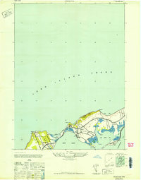
1947 · Orient
USGS Topo · 1:24,000

1947 · Mattituck
USGS Topo · 1:24,000

1947 · Mattituck Hills
USGS Topo · 1:24,000