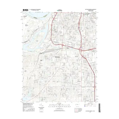
2016 Map of Southwest Memphis
USGS Topo · Published 2016About this map
The Mississippi River and its complex industrial shoreline define this 2016 survey of South Memphis. Massive landforms like Vice Presidents Island Number Forty-six and Presidents Island Number Forty-five sit adjacent to the Harbor Channel, reflecting decades of hydrological engineering and port development. Inland, the map reveals a dense network of neighborhoods and industrial zones, including Mallory, Nonconnah, and Whitehaven.
Find a feature on this map
217 named features on this map. Tap any name to fly to it.
Don’t see what you’re looking for? This feature index may not catch every label — zoom into the map to look around manually.
Map Details
Editions of this 2016 Southwest Memphis Map
This is the sole edition of this map. No revisions or reprints were ever made.
Other maps of this area

1908 · Lake Cormorant
USGS Topo · 1:24,000

1912 · Lake Cormorant
USGS Topo · 1:31,680

1916 · Memphis
USGS Topo · 1:62,500

1925 · Memphis
USGS Topo · 1:48,000

1927 · Memphis
USGS Topo · 1:62,500

1932 · Horn Lake
USGS Topo · 1:48,000

1935 · Horn Lake
USGS Topo · 1:62,500

1939 · Memphis
USGS Topo · 1:62,500

1944 · Hernando
USGS Topo · 1:62,500

1948 · Helena
USGS Topo · 1:250,000