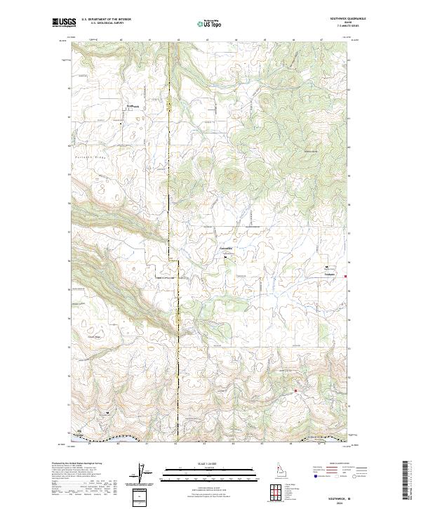
2024 Map of Southwick
USGS Topo · Published 2024About this map
The Nez Perce and Clearwater County line bisects this high plateau landscape, where the Clearwater River cuts deeply into the southern terrain. This modern survey illustrates the persistent agricultural and cemetery-based geography of the region, anchored by small settlements like Southwick and Cavendish. The topography is defined by prominent basalt-capped uplands such as Potlatch Ridge and Norwegian Ridge, which overlook the steep drainages of Cedar Creek and Bedrock Creek. Local roads, many bearing family and descriptive names like Lettenmaier Rd and Driscoll Rd, weave through the section lines, reflecting the enduring legacy of the Public Land Survey System. The presence of several community burial grounds, including Pine Hill Cem and Teakean Cem, provides essential reference points for genealogists tracing family roots in this corner of the Idaho panhandle.
Find a feature on this map
68 named features on this map. Tap any name to fly to it.
Don’t see what you’re looking for? This feature index may not catch every label — zoom into the map to look around manually.
Map Details
Editions of this 2024 Southwick Map
This is the sole edition of this map. No revisions or reprints were ever made.
Other maps of this area

1924 · Kamiah
USGS Topo · 1:125,000

1955 · Pullman
USGS Topo · 1:250,000

1958 · Pullman
USGS Topo · 1:250,000

1958 · Culdesac
USGS Topo · 1:62,500

1961 · Kendrick
USGS Topo · 1:62,500

1961 · Ahsahka
USGS Topo · 1:62,500

1967 · Peck
USGS Topo · 1:24,000

1967 · Orofino West
USGS Topo · 1:24,000

1981 · Orofino
USGS Topo · 1:100,000

1981 · Potlatch
USGS Topo · 1:100,000