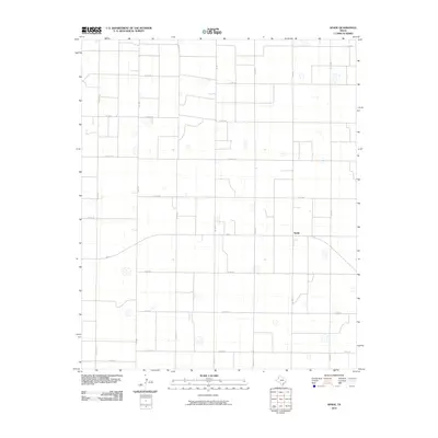
2010 Map of Spade
USGS Topo · Published 2010About this map
Spade sits at the intersection of FM 168 and FM 54, serving as the primary hub for this agricultural landscape in Lamb County. The terrain is defined by a rigorous grid of county roads, including Co RD 277 and Co RD 312, which partition the West Texas plains into regular parcels. Numerous small, seasonal water bodies or depressions are scattered throughout the landscape, indicating the natural drainage patterns of the Llano Estacado. This 2010 survey by the U.S. Geological Survey shows the area's transition into the early 21st century, where the rural infrastructure remains centered on farm-to-market routes like FM 1072 and FM 2197. The map provides a detailed view of the local transportation network that has supported the region's farming economy for generations.
Find a feature on this map
21 named features on this map. Tap any name to fly to it.
Don’t see what you’re looking for? This feature index may not catch every label — zoom into the map to look around manually.
Map Details
Editions of this 2010 Spade Map
This is the sole edition of this map. No revisions or reprints were ever made.
Other maps of this area

1954 · Clovis
USGS Topo · 1:250,000

1954 · Brownfield
USGS Topo · 1:250,000

1957 · Anton
USGS Topo · 1:62,500

1958 · Brownfield
USGS Topo · 1:250,000

1958 · Clovis
USGS Topo · 1:250,000

1962 · Brownfield
USGS Topo · 1:250,000

1962 · Cofferville
USGS Topo · 1:24,000

1962 · Fieldton
USGS Topo · 1:24,000

1964 · Littlefield
USGS Topo · 1:24,000

1964 · Lums Chapel
USGS Topo · 1:24,000