
1960 Map of Spalding 2 SW
USGS Topo · Published 1961About this map
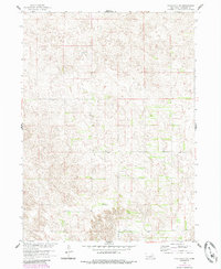
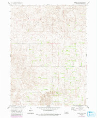
Bartlett and Caldwell precincts divide this rural landscape within Wheeler County, characterized by the expansive sandhills of the Nebraska interior. Surveyed as part of the Department of the Interior program for the development of the Missouri River Basin, the topography reveals a highly textured terrain of dunes and depressions where water is sparse. Small rural schoolhouses, including School No 20 and School No 24, are positioned along section lines, serving the isolated ranching and farming homesteads of the mid-century era. The drainage of Mud Creek provides the primary hydrological feature in the southern half of the map, carving a distinct path through the otherwise rolling contours. This survey captures a moment in time before many such rural school districts were consolidated, preserving the locations of these local educational centers.
Find a feature on this map
5 named features on this map. Tap any name to fly to it.
Don’t see what you’re looking for? This feature index may not catch every label — zoom into the map to look around manually.
Map Details
Editions of this 1960 Spalding 2 SW Map
3 editions found
Other maps of this area

1954 · Greeley NE
USGS Topo · 1:24,000

1954 · Spalding
USGS Topo · 1:24,000

1954 · Spalding NW
USGS Topo · 1:24,000

1954 · Bartlett SE
USGS Topo · 1:24,000

1954 · Bartlett
USGS Topo · 1:24,000

1955 · Broken Bow
USGS Topo · 1:250,000

1956 · Broken Bow
USGS Topo · 1:250,000

1960 · Spalding 2 NW
USGS Topo · 1:24,000

1960 · Spalding 2 NE
USGS Topo · 1:24,000

1960 · Spalding 2 SE
USGS Topo · 1:24,000