
1954 Map of Spalding NW
USGS Topo · Published 1956About this map
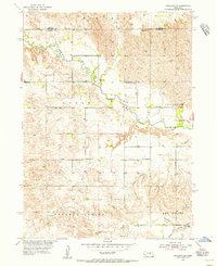
The Cedar River meanders across this mid-century landscape on the border of Wheeler and Greeley counties. This 1954 field-checked survey reveals a rural landscape defined by dispersed one-room schools, indicating a community still organized around local township districts before school consolidation fully transformed Nebraska's educational system. Significant topographic variations are found in the south, where Freeman Valley and Leo Valley provide fertile drainage into Freeman Creek and Troy Creek.
Find a feature on this map
13 named features on this map. Tap any name to fly to it.
Don’t see what you’re looking for? This feature index may not catch every label — zoom into the map to look around manually.
Map Details
Editions of this 1954 Spalding NW Map
5 editions found
Other maps of this area

1954 · Greeley NE
USGS Topo · 1:24,000

1954 · Greeley
USGS Topo · 1:24,000

1954 · Spalding
USGS Topo · 1:24,000

1954 · Spalding SW
USGS Topo · 1:24,000

1954 · Bartlett SE
USGS Topo · 1:24,000

1954 · Spalding SE
USGS Topo · 1:24,000

1955 · Broken Bow
USGS Topo · 1:250,000

1956 · Broken Bow
USGS Topo · 1:250,000

1960 · Spalding 2 SW
USGS Topo · 1:24,000

1960 · Spalding 2 SE
USGS Topo · 1:24,000