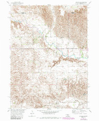
1954 Map of Spalding NW
USGS Topo · Published 1985About this map
The Cedar River meanders prominently through this landscape in the mid-1950s, defining the physical and political geography of the region. This survey was conducted as part of the Department of the Interior program for the development of the Missouri River Basin, capturing the terrain just as modern land management and irrigation efforts were intensifying. The map provides a precise look at the boundary where Wheeler Co meets Greeley Co, showcasing a transition between higher upland ridges and the fertile alluvial plains of the river valley. In the southern portion of the sheet, the drainage patterns of Freeman Creek and Troy Creek further illustrate the intricate water systems that supported local ranching and agricultural life during this era.
Find a feature on this map
4 named features on this map. Tap any name to fly to it.
Don’t see what you’re looking for? This feature index may not catch every label — zoom into the map to look around manually.
Map Details
Editions of this 1954 Spalding NW Map
5 editions found
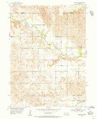
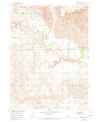
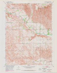
Other maps of this area

1954 · Greeley NE
USGS Topo · 1:24,000

1954 · Greeley
USGS Topo · 1:24,000

1954 · Spalding
USGS Topo · 1:24,000

1954 · Spalding SW
USGS Topo · 1:24,000

1954 · Spalding NW
USGS Topo · 1:24,000

1954 · Bartlett SE
USGS Topo · 1:24,000

1954 · Spalding SE
USGS Topo · 1:24,000

1955 · Broken Bow
USGS Topo · 1:250,000

1956 · Broken Bow
USGS Topo · 1:250,000

1960 · Spalding 2 SW
USGS Topo · 1:24,000