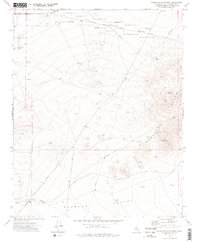
1973 Map of Spangler Hills West
USGS Topo · Published 1976About this map
Naval Weapons Center boundaries dominate the northern reaches of this San Bernardino County landscape, where military restricted zones meet the industrial and aeronautic outposts of the high desert. In the early 1970s, the Spangler Hills served as a backdrop for both active extraction and historical mining ventures, including the St Elmo Mines and Stephens Holding Mines. The terrain is characterized by a network of specialized access routes like Stephens Mine Road and Station Cutoff Road that cut through the arid flats of Searles Valley.
Find a feature on this map
22 named features on this map. Tap any name to fly to it.
Don’t see what you’re looking for? This feature index may not catch every label — zoom into the map to look around manually.
Map Details
Editions of this 1973 Spangler Hills West Map
2 editions found
Other maps of this area

1903 · Randsburg
USGS Topo · 1:62,500

1911 · Randsburg
USGS Topo · 1:62,500

1912 · Randsburg
USGS Topo · 1:62,500

1915 · Searles Lake
USGS Topo · 1:250,000

1947 · Trona
USGS Topo · 1:250,000

1948 · Trona
USGS Topo · 1:250,000

1949 · Searles Lake
USGS Topo · 1:62,500

1950 · Searles Lake
USGS Topo · 1:62,500

1953 · Ridgecrest
USGS Topo · 1:62,500

1953 · Trona
USGS Topo · 1:250,000