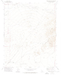
1973 Map of Spangler Hills West
USGS Topo · Published 1976About this map
Spangler Hills and the northern edge of the Searles Valley define this desert landscape during the early 1970s. The map illustrates a transitional zone where industrial extraction and military operations meet the arid basin. Extensive mining activity is evident along the eastern slopes of the hills, particularly at the St Elmo Mines and the Stephens Holding Mines. These sites, accessed by the Stephens Mine Road, represent the enduring mineral interests of San Bernardino County.
Find a feature on this map
31 named features on this map. Tap any name to fly to it.
Don’t see what you’re looking for? This feature index may not catch every label — zoom into the map to look around manually.
Map Details
Editions of this 1973 Spangler Hills West Map
2 editions found
Other maps of this area

1903 · Randsburg
USGS Topo · 1:62,500

1911 · Randsburg
USGS Topo · 1:62,500

1912 · Randsburg
USGS Topo · 1:62,500

1915 · Searles Lake
USGS Topo · 1:250,000

1947 · Trona
USGS Topo · 1:250,000

1948 · Trona
USGS Topo · 1:250,000

1949 · Searles Lake
USGS Topo · 1:62,500

1950 · Searles Lake
USGS Topo · 1:62,500

1953 · Ridgecrest
USGS Topo · 1:62,500

1953 · Trona
USGS Topo · 1:250,000