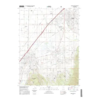
2017 Map of Spanish Fork
USGS Topo · Published 2017About this map
Spanish Fork, Payson, and Salem anchor this landscape along the base of the Wasatch Range, where the suburban grid meets the agricultural tradition of Utah County. The era's irrigation infrastructure is exceptionally well-documented, with the Strawberry Highline Canal, Salem Canal, and Shield Canal threading through the valley to support local orchards and farms. These water systems, alongside Mill Race Canal, reflect the complex engineering required to sustain these communities between the mountains and the basin.
Find a feature on this map
140 named features on this map. Tap any name to fly to it.
Don’t see what you’re looking for? This feature index may not catch every label — zoom into the map to look around manually.
Map Details
Editions of this 2017 Spanish Fork Map
This is the sole edition of this map. No revisions or reprints were ever made.
Other maps of this area

1885 · Salt Lake
USGS Topo · 1:250,000
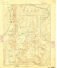
1885 · Manti
USGS Topo · 1:250,000
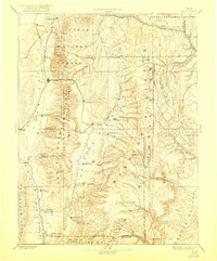
1895 · Manti
USGS Topo · 1:250,000
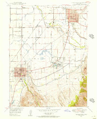
1948 · Spanish Fork
USGS Topo · 1:24,000
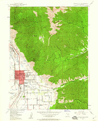
1948 · Springville
USGS Topo · 1:24,000
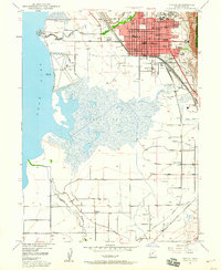
1948 · Provo
USGS Topo · 1:24,000
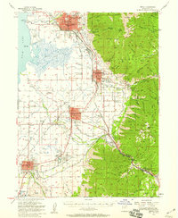
1949 · Provo
USGS Topo · 1:62,500
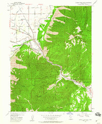
1949 · Spanish Fork Peak
USGS Topo · 1:24,000
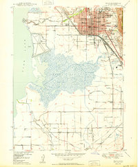
1950 · Provo
USGS Topo · 1:24,000
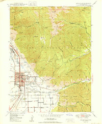
1950 · Springville
USGS Topo · 1:24,000