Loading...
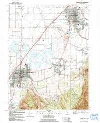
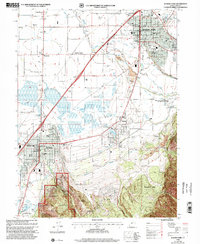
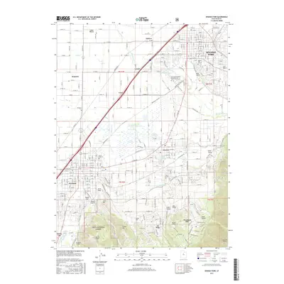
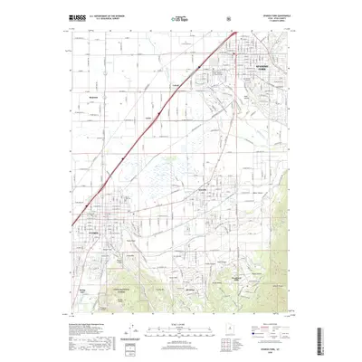
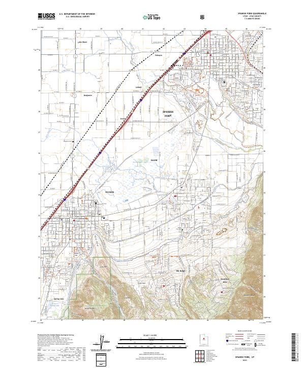
Loading map...1948 Map of Spanish Fork
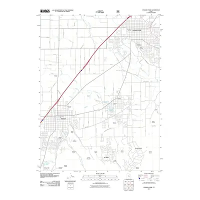
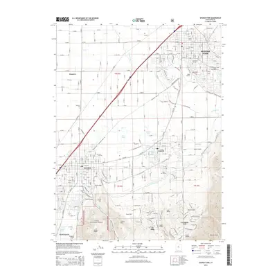
USGS Topo · Published 1971About this map
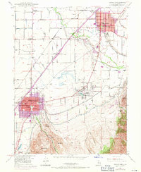
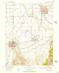
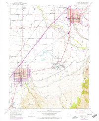
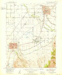
The agricultural and industrial corridor south of Provo comes into focus during the mid-twentieth century, centered on the growing hubs of Spanish Fork and Payson. The landscape is a complex network of water management, featuring the Mill Race Canal and Salem Canal that support the valley's farms. Industrial infrastructure is prominent, including a Sugar Refinery near Leland and several major rail lines like the Utah Railway and Union Pacific that facilitate the transport of local goods.
Find a feature on this map
57 named features on this map. Tap any name to fly to it.
Don’t see what you’re looking for? This feature index may not catch every label — zoom into the map to look around manually.
Map Details
Date Portrayed1948
Date Published1971
PublisherU.S. Geological Survey
Map TypeTopographic
Scale1:24,000
Physical Dimensions22 x 26.8 inches
Editions of this 1948 Spanish Fork Map
3 editions found
Historical Maps of Spanish Fork Through Time
9 maps found
Featured Locations
Source Details
SourceU.S. Geological Survey
CopyrightPublic Domain