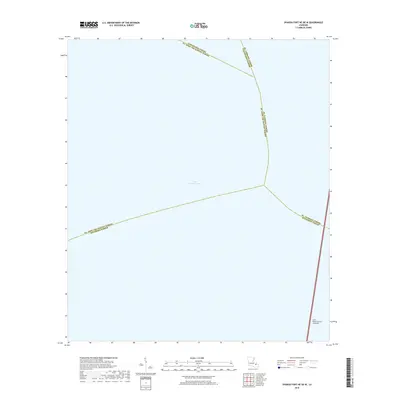
2018 Map of Spanish Fort NE OE W
USGS Topo · Published 2018About this map
Lake Pontchartrain dominates this maritime survey, illustrating the complex intersection of five distinct parish jurisdictions in the waters north of New Orleans. This 2018 edition provides a modern view of the aquatic boundaries and infrastructure within the basin, most notably the path of the Lake Pontchartrain Causeway. The map serves as a record of the political geography where St. Tammany Parish, Jefferson Parish, and Tangipahoa Parish converge. This specific quadrangle captures the open-water expanse and the engineered transit corridor connecting the north and south shores of the lake.
Find a feature on this map
7 named features on this map. Tap any name to fly to it.
Don’t see what you’re looking for? This feature index may not catch every label — zoom into the map to look around manually.
Map Details
Editions of this 2018 Spanish Fort NE OE W Map
This is the sole edition of this map. No revisions or reprints were ever made.
Other maps of this area

1891 · Spanish Fort
USGS Topo · 1:62,500

1892 · Bonnet Carre
USGS Topo · 1:62,500

1935 · Covington
USGS Topo · 1:62,500

1935 · Ponchatoula
USGS Topo · 1:62,500

1936 · Bonnet Carre
USGS Topo · 1:62,500

1936 · Spanish Fort
USGS Topo · 1:62,500
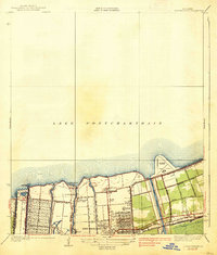
1938 · Spanish Fort
USGS Topo · 1:31,680
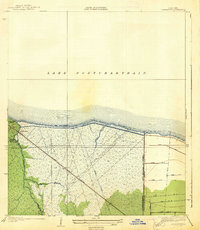
1938 · La Branche
USGS Topo · 1:31,680
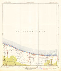
1938 · Indian Beach
USGS Topo · 1:31,680

1939 · Ponchatoula
USGS Topo · 1:62,500
Featured Places
- Jefferson Parish, LA
- St. Tammany Parish, LA
- Tangipahoa Parish, LA
- St. John the Baptist Parish, LA
- United States