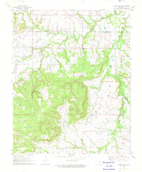
1971 Map of Spanish Peak
USGS Topo · Published 1972About this map
Glenpool and the surrounding rural landscape in the early 1970s reveal a region defined by its industrial roots and dispersed agricultural communities. Numerous Oil Wells and a Pipeline trace the path of energy development across the border of Tulsa and Okmulgee counties. The small settlement of Hectorville serves as a local anchor, centered around the Hectorville Ch, while nearby Liberty Sch and the Snake Creek Ch mark the traditional social centers for area families.
Find a feature on this map
22 named features on this map. Tap any name to fly to it.
Don’t see what you’re looking for? This feature index may not catch every label — zoom into the map to look around manually.
Map Details
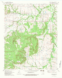
Editions of this 1971 Spanish Peak Map
2 editions found
Other maps of this area

1896 · Okmulgee
USGS Topo · 1:125,000

1900 · Okmulgee
USGS Topo · 1:125,000

1901 · Nuyaka
USGS Topo · 1:125,000

1914 · Kiefer
USGS Topo · 1:62,500

1916 · Kiefer
USGS Topo · 1:62,500

1946 · Fort Smith
USGS Topo · 1:250,000

1954 · Oklahoma City
USGS Topo · 1:250,000

1957 · Leonard
USGS Topo · 1:24,000
1957 · Bixby
USGS Topo · 1:24,000

1957 · Oklahoma City
USGS Topo · 1:250,000