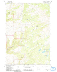
1960 Map of Spanish Point
USGS Topo · Published 1991About this map
Bighorn National Forest provides the setting for this 1960 topographic study of the high Wyoming backcountry. The map centers on the dramatic terrain of Spanish Point and the complex drainage of Medicine Lodge Creek and its many tributaries, including Dry Medicine Lodge Creek and North Trapper Creek. This region, surveyed for the development of the Missouri River Basin, reveals a landscape utilized by both cattlemen and early recreationalists. The presence of the Taylor Cow Camp reflects the area's grazing history, while the cluster of high-altitude waters—including Upper Medicine Lodge Lake, Round Lake, and Lower Paint Rock Lake—highlights its importance as a watershed. In the southeast, the Paint Rock Lodge and Paint Rock Lakes Guard Station mark a focal point for mountain travel near the Edelman Trail and North High Park Trail.
Find a feature on this map
30 named features on this map. Tap any name to fly to it.
Don’t see what you’re looking for? This feature index may not catch every label — zoom into the map to look around manually.
Map Details
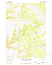
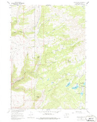
Editions of this 1960 Spanish Point Map
4 editions found

Other maps of this area

1895 · Dayton
USGS Topo · 1:125,000

1898 · Bald Mountain
USGS Topo · 1:125,000

1899 · Cloud peak
USGS Topo · 1:125,000

1901 · Cloud Peak
USGS Topo · 1:125,000

1901 · Dayton
USGS Topo · 1:125,000

1901 · Bald Mountain
USGS Topo · 1:125,000

1955 · Sheridan
USGS Topo · 1:250,000

1958 · Sheridan
USGS Topo · 1:250,000

1960 · Shell Falls
USGS Topo · 1:24,000

1960 · Shell Lake
USGS Topo · 1:24,000