
1957 Map of Spanish Springs Valley
USGS Topo · Published 1959About this map
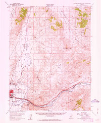
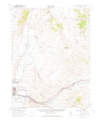
Spanish Springs Valley and the surrounding high desert ranges appear here in the late 1950s, a time when the Truckee River corridor was defined by small settlements and the heavy infrastructure of the Southern Pacific railroad. The map documents the eastern expansion of Sparks, where North Truckee Sch and Greenbrae Sch served growing neighborhoods near the rail lines. Along the river, names like Vista, Mustang, Hafed, and Patrick mark historic transit points through the canyon.
Find a feature on this map
55 named features on this map. Tap any name to fly to it.
Don’t see what you’re looking for? This feature index may not catch every label — zoom into the map to look around manually.
Map Details
Editions of this 1957 Spanish Springs Valley Map
3 editions found
Other maps of this area

1890 · Wadsworth
USGS Topo · 1:125,000

1891 · Carson
USGS Topo · 1:125,000

1891 · Wabuska
USGS Topo · 1:125,000

1891 · Reno
USGS Topo · 1:125,000

1892 · Wadsworth
USGS Topo · 1:125,000

1893 · Carson
USGS Topo · 1:125,000

1893 · Reno
USGS Topo · 1:125,000

1894 · Wadsworth
USGS Topo · 1:125,000

1894 · Wabuska
USGS Topo · 1:125,000

1950 · Virginia City
USGS Topo · 1:62,500