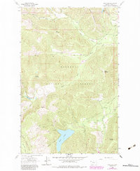
1963 Map of Spar Lake
USGS Topo · Published 1984About this map
Spar Lake sits at the center of this terrain, a significant water body within the heavily forested mountains of Lincoln County. The landscape is defined by the intersection of the Kootenai National Forest and the Kaniksu National Forest, where steep ridgelines like Pony Mountain and Stanley Mountain overlook narrow creek drainages. Human presence is concentrated near the Spar Lake Campground, while small-scale industrial activity is evidenced by a Mine near Grouse Mountain and a Gravel Pit to the east.
Find a feature on this map
33 named features on this map. Tap any name to fly to it.
Don’t see what you’re looking for? This feature index may not catch every label — zoom into the map to look around manually.
Map Details
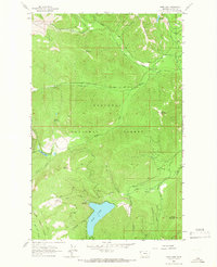
Editions of this 1963 Spar Lake Map
2 editions found
Other maps of this area

1911 · Priest Lake
USGS Topo · 1:250,000

1913 · Priest Lake
USGS Topo · 1:250,000

1920 · Libby
USGS Topo · 1:125,000

1930 · Libby
USGS Topo · 1:125,000

1932 · Libby
USGS Topo · 1:125,000

1951 · Clark Fork
USGS Topo · 1:62,500

1951 · Mt Pend Oreille
USGS Topo · 1:62,500

1957 · Kalispell
USGS Topo · 1:250,000

1958 · Sandpoint
USGS Topo · 1:250,000

1960 · Kalispell
USGS Topo · 1:250,000