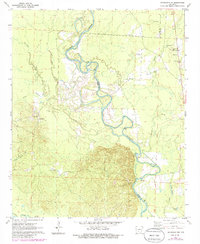
1971 Map of Sparkman NW
USGS Topo · Published 1986About this map
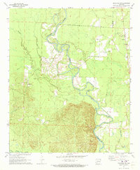
The Ouachita River meanders across the border of Clark and Dallas Counties, carving a complex network of oxbows and sloughs into the Arkansas landscape. This 1970s topography shows the transition from the dense river bottomlands to the rising timbered hills, highlighting the rural settlement patterns of the era. Small rural communities like Shakertown and Fairview anchor the upland areas, while the river's influence is seen in features like Nix Ferry and White Oak Slough. Local family and community history is preserved through the mapping of several country churches and burial grounds, including Union Grove Ch and Centerpoint Cem. The prevalence of Gravel Pits along the river suggests an economy tied to the physical materials of the basin, while tributaries such as Deceiper Creek and Terre Noire Creek provide the primary drainage for the surrounding woodlands.
Find a feature on this map
22 named features on this map. Tap any name to fly to it.
Don’t see what you’re looking for? This feature index may not catch every label — zoom into the map to look around manually.
Map Details
Editions of this 1971 Sparkman NW Map
2 editions found
Other maps of this area

1901 · Gurdon
USGS Topo · 1:125,000

1903 · Camden
USGS Topo · 1:125,000

1953 · El Dorado
USGS Topo · 1:250,000

1955 · Little Rock
USGS Topo · 1:250,000

1956 · Little Rock
USGS Topo · 1:250,000

1957 · El Dorado
USGS Topo · 1:250,000

1958 · El Dorado
USGS Topo · 1:250,000

1959 · Arkadelphia
USGS Topo · 1:24,000

1960 · El Dorado
USGS Topo · 1:250,000

1960 · Little Rock
USGS Topo · 1:250,000