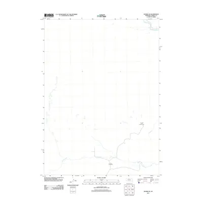
2011 Map of Sparks SE
USGS Topo · Published 2011About this map
Niobrara River flows across the northern edge of this Cherry County landscape, which is defined by its deep roots in Nebraska ranching. The presence of the Lost Creek Cattle Company Ranch and Lazy Trails Angus Ranch indicates the persistent cattle-raising tradition that shapes the spatial organization of the Sandhills region. These family and corporate ranching operations are linked by local roads that navigate a terrain carved by watercourses like Fairfield Creek and Lost Creek. The map provides a look at the rural infrastructure of the early 2010s, showing how ranch boundaries and grazing lands are oriented around these vital water sources in an area where the hydrology of the Niobrara basin dictates the pattern of agricultural settlement.
Find a feature on this map
5 named features on this map. Tap any name to fly to it.
Don’t see what you’re looking for? This feature index may not catch every label — zoom into the map to look around manually.
Map Details
Editions of this 2011 Sparks SE Map
This is the sole edition of this map. No revisions or reprints were ever made.
Other maps of this area

1950 · Norden
USGS Topo · 1:62,500

1950 · Sparks
USGS Topo · 1:62,500

1950 · Wood Lake
USGS Topo · 1:62,500

1950 · Arabia
USGS Topo · 1:62,500

1952 · Norden
USGS Topo · 1:62,500

1957 · Valentine
USGS Topo · 1:250,000

1959 · Valentine
USGS Topo · 1:250,000
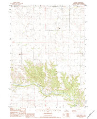
1983 · Sparks
USGS Topo · 1:24,000
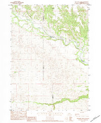
1983 · Muleshoe Creek
USGS Topo · 1:24,000
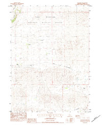
1983 · Thatcher
USGS Topo · 1:24,000