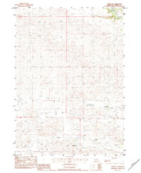
1983 Map of Sparks SE
USGS Topo · Published 1984About this map
The Niobrara River flows through the northeast corner of this Cherry County landscape, a region defined by its sprawling cattle ranching operations in the early 1980s. Local ranching history is anchored by the Lost Creek Cattle Co Ranch and the Lazy Trails Angus Ranch, which occupy significant portions of the terrain. The settlement of Fairfield is situated in the southern half of the map, near the banks of Fairfield Creek. This provisional survey illustrates the relationship between these water sources and the livestock industry, tracing the course of Lost Creek as it winds through the central sandhills towards the river valley. The topography is marked by numerous small depressions and drainage patterns typical of this portion of Nebraska, showing the area as it was recorded during field checks in 1980.
Find a feature on this map
6 named features on this map. Tap any name to fly to it.
Don’t see what you’re looking for? This feature index may not catch every label — zoom into the map to look around manually.
Map Details
Editions of this 1983 Sparks SE Map
This is the sole edition of this map. No revisions or reprints were ever made.
Other maps of this area

1950 · Norden
USGS Topo · 1:62,500

1950 · Sparks
USGS Topo · 1:62,500

1950 · Wood Lake
USGS Topo · 1:62,500

1950 · Arabia
USGS Topo · 1:62,500

1952 · Norden
USGS Topo · 1:62,500

1957 · Valentine
USGS Topo · 1:250,000

1959 · Valentine
USGS Topo · 1:250,000
1983 · Sparks
USGS Topo · 1:24,000
1983 · Muleshoe Creek
USGS Topo · 1:24,000
1983 · Thatcher
USGS Topo · 1:24,000