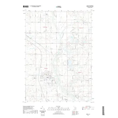
2019 Map of Sparta
USGS Topo · Published 2019About this map
The village of Sparta serves as the central hub of this West Michigan landscape, where the residential grid meets the fertile orchard and farm country of northern Kent County. This 2019 survey captures the area's transition from a concentrated agricultural center to a modern residential and recreational corridor. Northward, the Rogue River and its various tributaries like Nash Cr and Ball Cr carve through the glacial terrain, which is punctuated by prominent elevations like Bettes Tower Hill. The region is defined by its water, with numerous kettle lakes such as Camp Lake, Olin Lakes, and Long Lake providing a focal point for local development.
Find a feature on this map
125 named features on this map. Tap any name to fly to it.
Don’t see what you’re looking for? This feature index may not catch every label — zoom into the map to look around manually.
Map Details
Editions of this 2019 Sparta Map
This is the sole edition of this map. No revisions or reprints were ever made.
Other maps of this area

1918 · Cedar Springs
USGS Topo · 1:62,500

1943 · Cedar Springs
USGS Topo · 1:62,500

1945 · Ravenna
USGS Topo · 1:62,500

1954 · Midland
USGS Topo · 1:250,000

1958 · Midland
USGS Topo · 1:250,000

1958 · Sand Lake
USGS Topo · 1:62,500

1958 · Fremont
USGS Topo · 1:62,500

1959 · Midland
USGS Topo · 1:250,000

1966 · Midland
USGS Topo · 1:250,000

1967 · Sparta
USGS Topo · 1:24,000