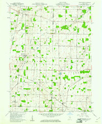
1960 Map of Spartanburg
USGS Topo · Published 1961About this map
Agricultural fields and drainage networks define this borderland region where Randolph and Darke Counties meet along the state line. Small farming communities such as Spartanburg and Bartonia anchor the landscape, while the New York Central railroad tracks cut a diagonal path through the southern half of the sheet, passing by Crete and Glen Karn. The terrain is characterized by numerous small waterways and ditches, including Greenville Creek and Wildcat Creek, which supported the early rural economy.
Find a feature on this map
50 named features on this map. Tap any name to fly to it.
Don’t see what you’re looking for? This feature index may not catch every label — zoom into the map to look around manually.
Map Details
Editions of this 1960 Spartanburg Map
2 editions found
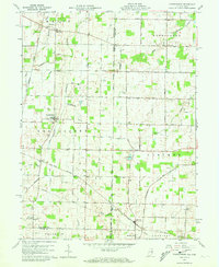
Other maps of this area

1915 · New Paris
USGS Topo · 1:48,000

1916 · Winchester
USGS Topo · 1:48,000

1918 · Winchester
USGS Topo · 1:62,500

1918 · New Paris
USGS Topo · 1:62,500

1943 · Winchester
USGS Topo · 1:62,500

1953 · Cincinnati
USGS Topo · 1:250,000

1953 · Muncie
USGS Topo · 1:250,000

1956 · Muncie
USGS Topo · 1:250,000

1957 · Cincinnati
USGS Topo · 1:250,000

1960 · Union City
USGS Topo · 1:24,000