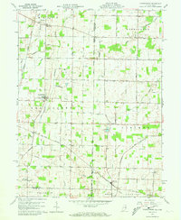
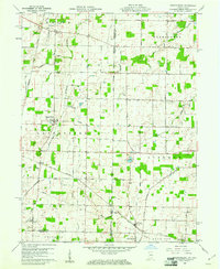
1960 Map of Spartanburg
USGS Topo · Published 1973About this map
The Treaty Line carves a diagonal path across this agricultural landscape along the Indiana-Ohio border, marking a distinct legacy of early land survey and settlement patterns. The New York Central railroad bisects the terrain, connecting small rural hubs like Glen Karn and Arba. Farming is the primary character of this region, punctuated by a network of drainage ditches such as Hutchison Ditch and Harshman Ditch that manage the land between watercourses like Dismal Creek and Spartanburg Creek. Small crossroads communities and scattered burial grounds, including Bartonia Cem and Clemens Cem, provide a map for genealogists tracing family roots in Greenfork and Liberty townships. The map also records early religious centers like Beech Ch, serving as focal points for the rural population of the early 1960s.
Find a feature on this map
38 named features on this map. Tap any name to fly to it.
Don’t see what you’re looking for? This feature index may not catch every label — zoom into the map to look around manually.
Map Details
Editions of this 1960 Spartanburg Map
2 editions found
Other maps of this area

1915 · New Paris
USGS Topo · 1:48,000

1916 · Winchester
USGS Topo · 1:48,000

1918 · Winchester
USGS Topo · 1:62,500

1918 · New Paris
USGS Topo · 1:62,500

1943 · Winchester
USGS Topo · 1:62,500

1953 · Cincinnati
USGS Topo · 1:250,000

1953 · Muncie
USGS Topo · 1:250,000

1956 · Muncie
USGS Topo · 1:250,000

1957 · Cincinnati
USGS Topo · 1:250,000

1960 · Union City
USGS Topo · 1:24,000