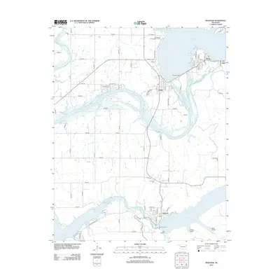
2013 Map of Spavinaw
USGS Topo · Published 2013About this map
Pensacola Dam stands as the primary engineering marvel on this map, holding back the waters of Grand Lake O' the Cherokees and shaping the local geography of Langley and Disney. This 2013 survey reveals a landscape defined by significant water management and recreation, where the Neosho River flows south toward another major impoundment, Spavinaw Dam, creating Spavinaw Lake. The inclusion of the Military Cem and Spavinaw Cem provides essential points of interest for genealogists tracing local lineage. Small settlements like Tia Juana and infrastructure such as the Grandcraft Landing Strip Airport highlight the mix of rural community and specialized transport that characterizes this portion of Mayes County. The topographic detail captures the low-lying areas like Tag Hollow and Chicken Hollow, offering insight into the natural drainages surrounding these man-made reservoirs.
Find a feature on this map
44 named features on this map. Tap any name to fly to it.
Don’t see what you’re looking for? This feature index may not catch every label — zoom into the map to look around manually.
Map Details
Editions of this 2013 Spavinaw Map
This is the sole edition of this map. No revisions or reprints were ever made.
Other maps of this area

1896 · Pryor
USGS Topo · 1:125,000

1899 · Siloam Springs
USGS Topo · 1:125,000

1901 · Vinita
USGS Topo · 1:125,000

1901 · Pryor
USGS Topo · 1:125,000

1903 · Siloam Springs
USGS Topo · 1:125,000

1904 · Siloam Springs
USGS Topo · 1:125,000

1907 · Wyandotte
USGS Topo · 1:125,000

1909 · Wyandotte
USGS Topo · 1:125,000

1913 · Vinita
USGS Topo · 1:125,000

1954 · Tulsa
USGS Topo · 1:250,000