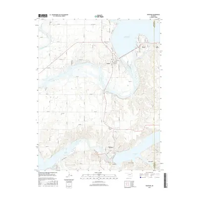
2016 Map of Spavinaw
USGS Topo · Published 2016About this map
Langley and Disney sit at the northern edge of this landscape, positioned where the Neosho River exits the expansive Grand Lake O' the Cherokees. The river flows south through a series of impoundments, creating a complex water system that includes Lake Hudson and the eastern arm of Spavinaw Lake. These reservoirs define the modern geography of Mayes County, where the town of Spavinaw serves as a gateway to the southern lake.
Find a feature on this map
86 named features on this map. Tap any name to fly to it.
Don’t see what you’re looking for? This feature index may not catch every label — zoom into the map to look around manually.
Map Details
Editions of this 2016 Spavinaw Map
This is the sole edition of this map. No revisions or reprints were ever made.
Other maps of this area

1896 · Pryor
USGS Topo · 1:125,000

1899 · Siloam Springs
USGS Topo · 1:125,000

1901 · Vinita
USGS Topo · 1:125,000

1901 · Pryor
USGS Topo · 1:125,000

1903 · Siloam Springs
USGS Topo · 1:125,000

1904 · Siloam Springs
USGS Topo · 1:125,000

1907 · Wyandotte
USGS Topo · 1:125,000

1909 · Wyandotte
USGS Topo · 1:125,000

1913 · Vinita
USGS Topo · 1:125,000

1954 · Tulsa
USGS Topo · 1:250,000